USING RAUMSONDE
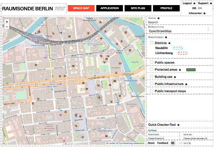
The site is divided into three main sections:
1. The header is used to navigate between different areas of the RAUMSONDE tool. Here you can:
- switch between the four modules (Space Map, Application, Site Plan, Profile)
- log in as a user to use other functions of the tool for permit creation and management
- contact the RAUMSONDE team via the SUPPORT Desk, where you can also submit a bug report, a feature request or general question about using the tool
- change the language between “DE” for German or “EN” for English
- the "INFOCENTER" button provides access to our database for support, both in using the tool and in event organisation and approval procedures

2. The input window (centre-left) is the main editing area of the respective units of the tool. Here, the map display, the application input field and the plan drawing area can be found in the respective areas.
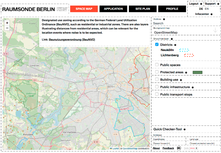
3. The information column (right) is used to control and specify the content displayed, the respective areas and for additional information and instructions.
Clicking on the small question marks next to the individual items in the tool opens a window with short explanatory texts on the various contents as well as links to parts of the Infocenter or beyond so that you can learn more about the respective topic. If you click on the X in the window, the window disappears again.

